Lake Clementine Trail
A panoramic hike along the North Fork American River.
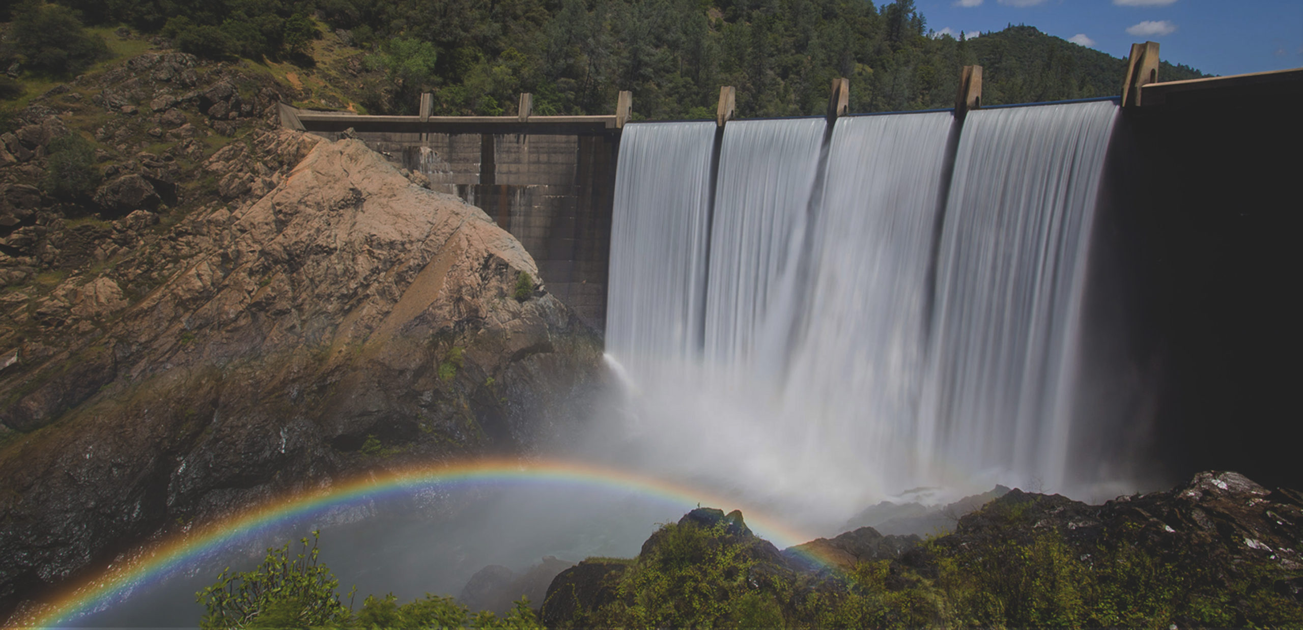
This easy trail is ideal for a panoramic hike along the North Fork American River, much of it is in the shade of conifers and oaks and in close proximity to riparian flora and chaparral. Several side trails lead down to the river, the last one descending to a deep pool beneath the North Fork Dam where spectacular views of water cascading over the dam can be seen.
- Approx length of time 1 hour each way
- Distance 1.9 miles
- Difficulty Easy to moderate
- Elevation Gain 785 feet
- Website Lake Clementine Trail
- Great For Adults and Kids
- Best Feature Amazing view of the waterfall
- Pet Friendly
- Wheelchair Accessible
- Hiking


Trailhead is at confluence area. 1¾ miles south of ASRA Park Headquarters. Take Hwy 49 from Auburn south to Old Foresthill Road at the bottom of the canyon. Continue straight for ¼ mile, cross the curved Old Foresthill Bridge, and park on the right. Trailhead is on the left across from the parking area behind the green gate (#139).
ALSO CHECK OUT:
-
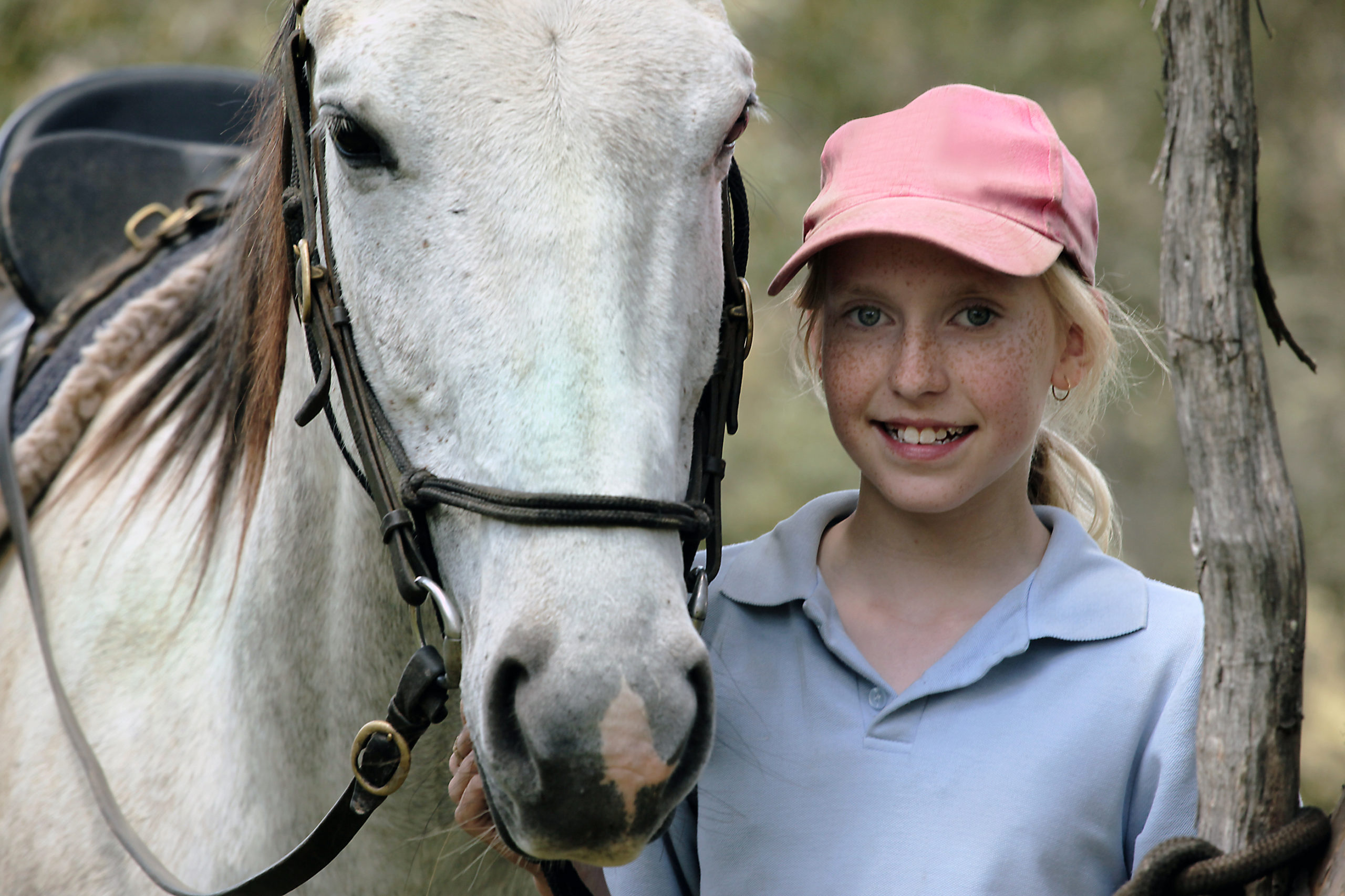
Tahoe Donner Equestrian Center
Truckee, CA15275 Alder Creek Road, Truckee, CA 96161Offers trail rides, pony rides, horse boarding, riding lessons, tack shop, Horsemanship Camps and BBQ Rides.
-

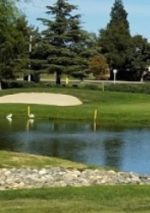
Turkey Creek Golf Club
Lincoln, CA1525 Highway 193, Lincoln, CA 95648Turkey Creek Golf Course is an 18-hole regulation length golf course in Lincoln, California. This championship layout has 3 sets of teeboxes for a fun, but challenging golfing experience.
-
Sierra Pines at Sun City Roseville
Roseville, CA7600 Whistlestop Way, Roseville, CA 95747If you’re a golfer who doesn’t like playing the same 18 holes time after time, Timber Creek and Sierra Pines is the place for you.


