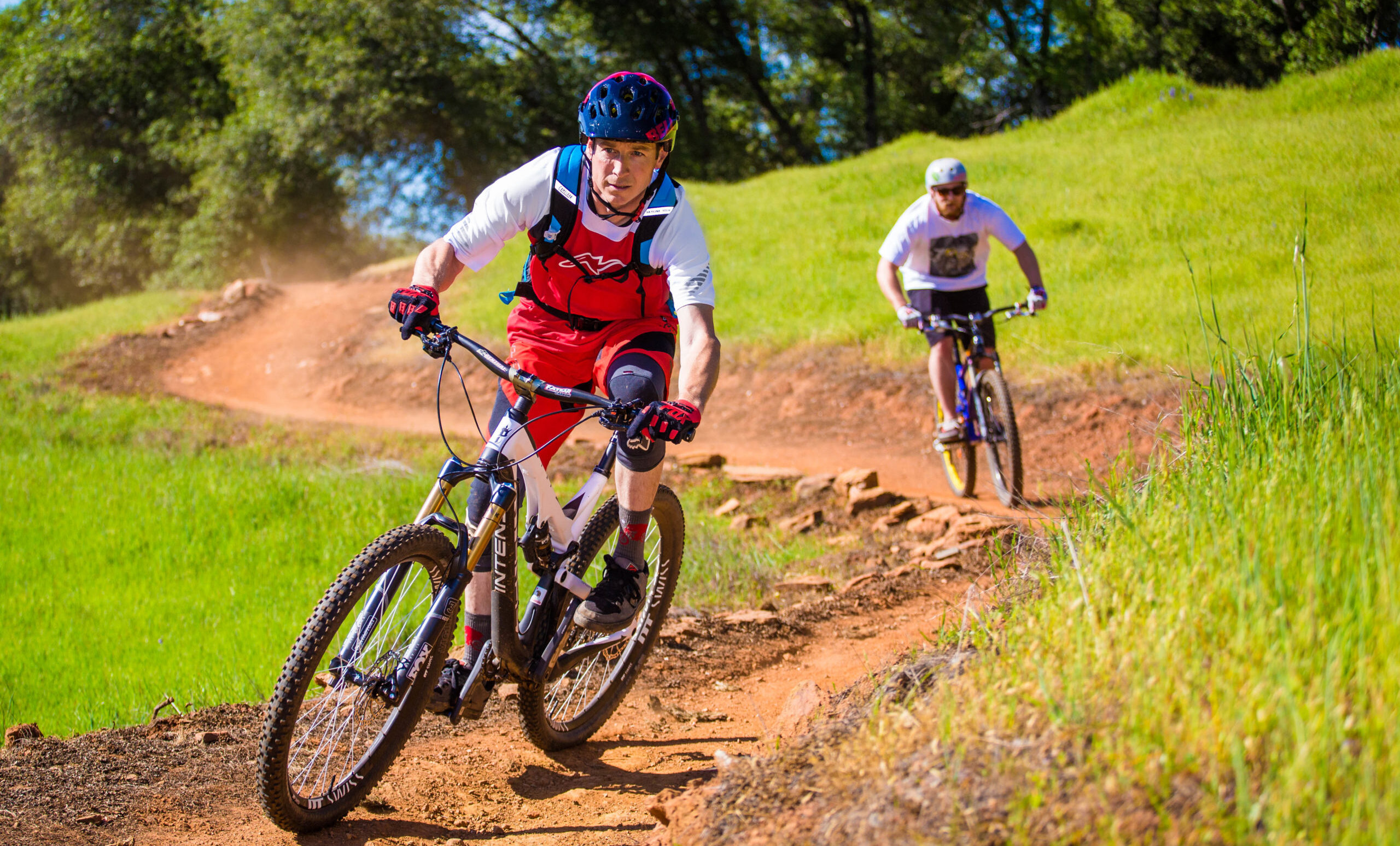
Olmstead Loop Trail
This beautiful loop trail, which parallels Hwy 49 on one side and the American River Canyon on the other, passes through open, rolling hills with several species of oak trees, and wildflowers in spring.
The Olmstead Loop Trail is especially popular in the springtime when wildflowers are in bloom, ponds and vernal pools are visible, and over 50 species of birds can be seen.
- Approx length of time 4 hours each way
- Distance 8.6 miles
- Difficulty Easy to moderate
- Elevation Gain 1500 feet
- Website Olmstead Loop Trail
- Great For Adults and Kids
- Best Feature Amazing view of the wildflowers in the spring.
- Pet Friendly
- Biking
- Hiking


Trailhead and parking are behind the fire station in Cool. Take Hwy 49 south to Cool and turn right just before the fire station and blinking red light. This is also the Cool staging area for equestrians. Trailhead is on south end of the parking area.
ALSO CHECK OUT:
-
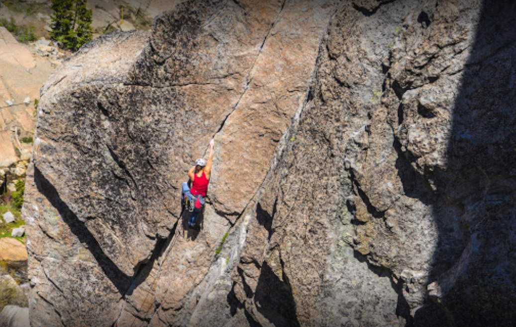
AlpenGlow Rock Climbing
Olympic Valley, CA1590 Squaw Valley Road, Olympic Valley, CA 96146Alpenglow creates and fosters a community of climbers prepared to achieve their dreams in the world’s greatest mountain ranges
-
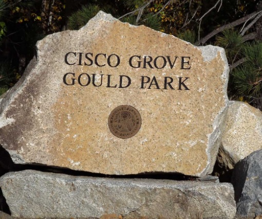
Cisco Grove Gould Park
Emigrant Gap, CA48605 Hampshire Rocks Road, Cisco Grove, CA 95728Picnic tables, vault restrooms, hiking trails and fishing.
-

Royal Gorge X-Country Ski Resort
Soda Springs, CA9411 Pahatsi Road, Soda Springs, CA 95728Boasting some of the most scenic vistas in Tahoe, Royal Gorge is North America’s largest cross country skiing resort.


