Park HQ-to-Confluence Loop
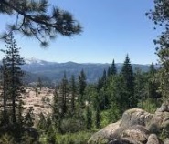
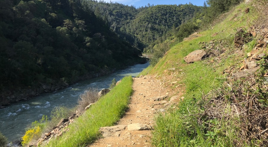
This loop affords many beautiful views of the American River Canyon and the confluence area.
This loop affords many beautiful views of the American River Canyon and the confluence area. It also includes some of the most historic trails and sites in the Auburn State Recreation Area (ASRA). Although the trails may be steep at times, it is mostly an easy loop through three of common American River Canyon ecosystems: foothill woodlands, riparian woodlands, and chaparral.
- Distance 3.5 miles
- Approx length of time 2 hours (hiking)
- Difficulty Easy to moderate
- Website Park HQ-to-Confluence Loop
- Best Feature Except during late summer, there is a beautiful waterfall close to the trail, cascading over a granite wall.
- Hiking
- Waterfalls
- Historic Trails

Trailhead is on Hwy 49, opposite ASRA Park HQ, ¾ mile south of Auburn behind the green gate (#136). Parking is at ASRA Park HQ. Alternate trailhead is at the confluence area, 1½ miles south of Park HQ. Take Hwy 49 south to Old Foresthill Road at bottom of canyon; go straight and park on right just past intersection.
ALSO CHECK OUT:
-

Sailor Flat Trail
Foresthill, CASailor Flat Road, Foresthill, CA 95631The first 1½ miles of the trail follows an old mining road and is relatively easy. The trail then becomes steeper, with many switchbacks as you drop down to the North Fork of the American River.
-

OARS California Rafting
Lotus, CALotus, Coloma, CA,Rafting the American River offers classic whitewater: crisp, clear, refreshing water flowing over spectacular granite rocks and boulders.
-

High Sierra Water Ski School
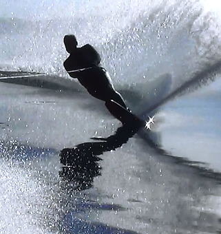
Tahoe City, CA1850 West Lake Boulevard Tahoe City, CA 96145They offer Water Skiing, Wakeboard, Wakesurfing, Tubing, Kneeboarding and Wakeskating Lessons, Power Boat Rentals, Power Boat Charters, Power Boat tours and rides, Jet Ski Rentals. Plus, Canoe, Kayak, Paddleboard and Equipment rentals.


