Sailor Flat Trail
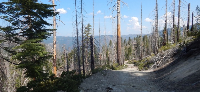
The first 1½ miles of the trail follows an old mining road and is relatively easy. The trail then becomes steeper, with many switchbacks as you drop down to the North Fork of the American River.
The first 1½ miles of the trail follows an old mining road and is relatively easy. The remains of an old gold stamp mill stands near the trailhead. The trail then becomes steeper, with many switchbacks as you drop down to the North Fork of the American River. Good fishing is available at times and limited camping is available along the trail. Campfire permits are required for campfires, backpacking stoves, BBQs and lanterns. A popular trip for many is to enter via this trail and then proceed downriver to exit via the Mumford Bar Trail. This can be accomplished in one or two days, but would require the use of two vehicles or arranging for pickup (total trip distance is 14.12 miles).
- Distance 3.25 miles each way
- Difficulty Difficult
- Website Sailor Flat Trail
- Best Feature The remains of an old gold stamp mill stands near the trailhead
- Hiking
- Camping
- Fishing

From Interstate 80, take the Foresthill exit to Foresthill Road and proceed 15.5 miles to the Foresthill Ranger Station. Continue 26.5 miles on Foresthill Road and turn left on Sailor Flat Road. NOTE: Sailor Flat Road is rocky with water bars and a high clearance, 4WD is advised.
ALSO CHECK OUT:
-

Meeks Bay Resort
Tahoma, CA7941 Emerald Bay Road, Tahoma, CA 96142The resort offers direct beach access, a grill-style restaurant and parking. Recreational facilities include boat and bike rentals, beach volleyball, lake tours and fishing, along with hiking trails.
-

OARS California Rafting
Lotus, CALotus, Coloma, CA,Rafting the American River offers classic whitewater: crisp, clear, refreshing water flowing over spectacular granite rocks and boulders.
-

H2O Adventures
Lotus, CA6400 CA-49, Lotus, CA 95651From Whitewater beginner to adventure seeker, we’ve got the trip for you.


