Tahoe-Pyramid Trail
The Tahoe-Pyramid Trail is based on a vision for a trail that would follow the entire length of the Truckee River, from its source at forested Lake Tahoe (6225′) to the desert terminus of Pyramid Lake (3796′). The current route can be traveled by foot or by bicycle, and when fully completed, will descend over 2000 feet during the entire course of the 114-mile long trail, using a combination of existing dirt and paved roads, bike paths, historic roads, as well as many new sections of trails and bridges.
- Hours Dawn to dusk
- Address West Lake Boulevard, Tahoe City, CA 96145
- Phone 775-825-9868
- Website Tahoe-Pyramid Trail
- Best Feature Historic Roads
- Hiking
- Biking
- Parking

Located on the east side of the Truckee River.
ALSO CHECK OUT:
-
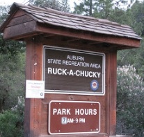
Ruck-A-Chucky Bar Campground
Auburn, CADrivers Flat Road, Auburn, CA 95603Five primitive campsites are located on the north side of the river on the Placer County side.
-

W.E.T. River Trips
Lotus, CA5461 Bassi Road, Lotus, CA 95651Our team is excited to share with you their love of whitewater rafting and why WET is northern California’s premier rafting outfitter. We hope you’ll join us on the river!
-

High Line Adventures
Soda Springs, CALake Tahoe’s epic snowmobile tour. Avoid the traffic see the views.

