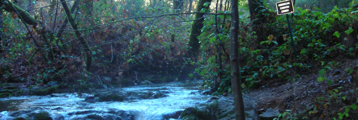
American Canyon Trail
This steep trail has everything needed for a great day of exploration: rugged mountain canyons, a beautiful stream with waterfalls, a wide variety of plant and animal life, gold rush era history, and panoramic views of the Middle Fork American River.
This steep trail has everything needed for a great day of exploration: rugged mountain canyons, a beautiful stream with waterfalls, a wide variety of plant and animal life, gold rush era history, and panoramic views of the Middle Fork American River. This is an excellent hike for bird lovers and photographers – even artists with drawing pads and paint boxes. Remember your binoculars, camera, sunscreen, water and a lunch to enjoy while you savor the scenery.
- Approx length of time 1 hour down, 2 hours up
- Distance 2.4 miles to river
- Difficulty First 1.7 miles: easy down, moderate up; last 0.7 miles: moderate down, difficult up
- Website American Canyon Trail
- Best Feature About 1¾ miles from the trailhead, a small, very steep unmarked side trail on the left leads down to some very nice falls and a great pool where you can escape the heat on hot summer days.
- Waterfalls
- Hiking
- Horseback Riding


Trailhead is on Pilgrim Way, east of Cool. Take Hwy 49 south to Cool. Turn left on Hwy 193 at blinking red light and drive 5.7 miles. Turn left on Pilgrim Way and look for trailhead on right side just before the gated entrance to Auburn Lake Trails. Curbside parking is available along Pilgrim Way on both sides of trailhead, and overflow parking can use private land on the left side of Pilgrim Way 100 yards before trailhead.
ALSO CHECK OUT:
-
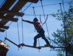
Palisades Tahoe Ropes Course
Olympic Valley, CA1901 Chamonix Place, Olympic Valley, CA 96146Built into the hillside facing beautiful Shirley Canyon and the world famous peaks of Olympic Valley USA, the Ropes Course provides a challenging opportunity for participants to push past their own comfort zones.
-
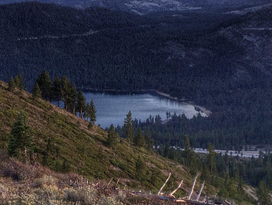
Donner Lake Rim Trail
Truckee, CA15519 Glacier Way, Truckee, CA 96161The park is home to numerous hiking trails.
-

Geocaching in Lake Tahoe
Olympic Valley, CAHigh Camp, Olympic Valley, CA 96146Geocachers can ride Lake Tahoe’s scenic Aerial Tram up to High Camp, el. 8200 feet, to find 10 caches hidden among the mountain’s peaks using GPS coordinates.


