Confluence Interpretive Trail
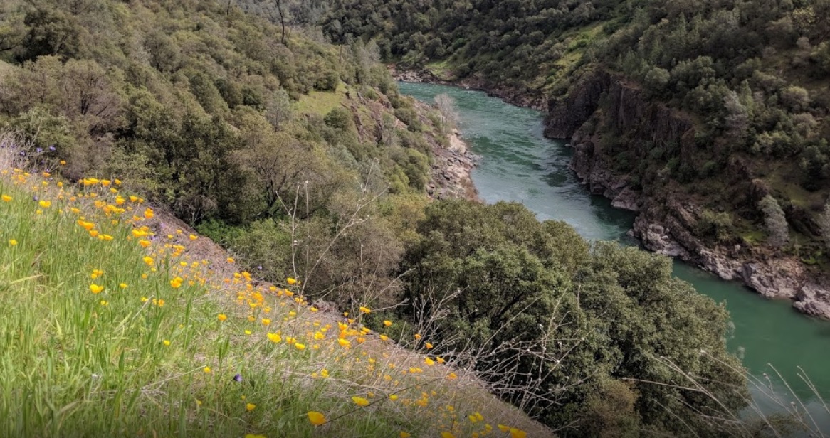
The confluence of the North and Middle Forks American River affords a marvelous opportunity to view the natural wonders of this river canyon environment and to glimpse the past via the remains of its historic bridges.
This loop affords many beautiful views of the American River Canyon and the confluence area. It also includes some of the most historic trails and sites in the Auburn State Recreation Area (ASRA). Although the trails may be steep at times, it is mostly an easy loop through three of common American River Canyon ecosystems: foothill woodlands, riparian woodlands, and chaparral. Come and take the marvelous opportunity to view the natural wonders of this river canyon!
- Distance 2.6 miles total; Two independent sections (0.8 mile loop and 1.8 miles out and back)
- Approx length of time About 45 minutes
- Difficulty Easy hike; nearly flat except for 0.2 mile uphill on loop section
- Website Confluence Interpretive Trail
- Best Feature The trail affords a marvelous opportunity to view the natural wonders of this river canyon environment and to glimpse the past via the remains of its historic bridges.
- Hiking
- Historic Bridges

This trail begins at the confluence area, about 3 miles below Auburn. From Lincoln Way in Auburn, take Hwy 49 (El Dorado Street) to the bottom of the canyon. Continue straight past the Hwy 49 Bridge for mile and park either on the right or left side of the road. Start the self-guided trial by walking on the south (left side of the Old Foresthill Rd. towards the Hwy 49 Bridge marker post #1 (about 30 yards before the bridge).
ALSO CHECK OUT:
-
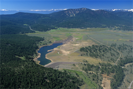
Sugar Pine and Big Reservoirs (also known as Morning Star Lake)
Foresthill, CASugar Pine Road, Colfax, CA 95713Fishing: Rainbow and Brown Trout, Black Bass, Bluegill and Perch; Fishing by Permit at Big Reservoir.
-
Garcia’s Hunting Preserve
Lincoln, CADowd Road, Lincoln, CA 95648Offer a variety of hunts ranging from upland game hunts to big game hunts.
-
Martis Creek Lake
Truckee, CAAlpine Meadows Camp, Truckee, CA 96161Known for its outstanding catch-and-release trout fishing.


