Indian Creek Trail
It offers great views up and down the canyon as well as many opportunities to take a dip.
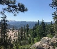
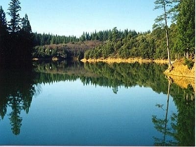
This easy trail offers a fun summer hike. It allows you to enjoy the American River Canyon without having to hike in or out. It offers great views up and down the canyon as well as many opportunities to take a dip. Canyon live oaks and other foothill trees keep much of the trail in the shade which is welcome in the summer. You are seldom out of sight or sound of the river.
- Distance 2 miles one way
- Approx length of time 1 hour (hiking)
- Difficulty Easy, but the trail is narrow with steep drop-offs to the river. Hardest portion is reaching the trailhead on the west side of Shirttail Creek.
- Website Indian Creek Trail
- Best Feature It offers many nice views of the river canyon.
- Easy Hike
- Canyon Views
- Little Elevation Gain

Trailhead is off Yankee Jim’s Road on the North Fork American River near Shirttail Creek. Take I-80 to Colfax. Exit at Colfax and turn right (west) onto Canyon Way. After approx. 0.8 miles, turn left (south) onto Yankee Jim’s Road. The road will quickly become gravel. Yankee Jim’s Road is narrow, twisting, and without guardrails. It descends rapidly to the North Fork of the American River. Drive slowly. Hikers, rafters and miners frequently use the road, and visibility around the narrow curves is limited. For those not driving, there are some great views down the cliff on the right. At the river, there is limited parking on either side of the 1930 single vehicle suspension bridge. Cross the bridge, by car or on foot depending on parking availability. After crossing the bridge, look for rock stairs down to the North Fork American River on the left. The first set of stairs is wide but uneven. Another set of stairs, not as wide but generally in better shape, is just ahead around the bend. The trail proper is on the other side of Shirttail Creek. Depending on water level, wade or boulder hop across Shirttail Creek. Once on the far side of the creek you will see the trail up the bank from the river.
ALSO CHECK OUT:
-

Sailor Flat Trail
Foresthill, CASailor Flat Road, Foresthill, CA 95631The first 1½ miles of the trail follows an old mining road and is relatively easy. The trail then becomes steeper, with many switchbacks as you drop down to the North Fork of the American River.
-

Long Ravine Resort
Colfax, CA26909 Rollins Lake Road, Colfax, CA 95713This is undoubtedly, one of the most beautiful areas in The Gold Country.
-

Lewis Campground
Foresthill, CAMosquito Ridge Road 96, Foresthill, CA 95631This campground has 40 sites with tables and grills. There are toilets and potable water, as well as a boat launch.


