Quarry & Western States Loop Trail
This loop affords regular users of the Quarry Trail an alternate route rather than the normal out and back.
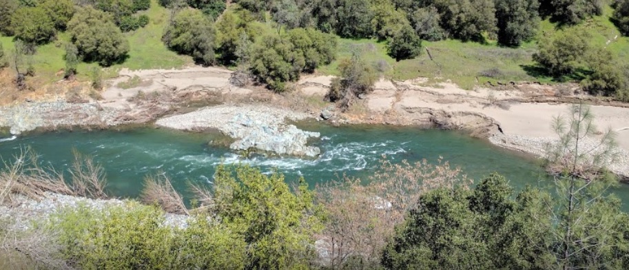
The Quarry Trail portion of this loop follows the wide, level bed of the Mountain Quarries RR. It affords nice views of the Middle Fork American River. The two sections of the Western States Trail (WST) cut through the dense foothill woodlands above the river. This loop affords regular users of the Quarry Trail an alternate route rather than the normal out and back. It highlights a small portion of the WST while skirting the quarry operation. The loop goes from river to canyon rim and back. Trails Included: Quarry Trail, Western States Trail-Tevis (portion), Western States Trail (portion), Shortcut Trail 1 (optional).
- Distance 6.3 miles
- Approx length of time 3 hours (hiking)
- Difficulty Moderate to Difficult
- Website Quarry & Western States Loop Trail
- Best Feature Beautiful views of the Middle Fork American River
- Hiking
- Biking
- Equestrian

Trailhead is 2 miles south of ASRA Park Headquarters. Take Hwy 49 south from Auburn; turn right across the American River towards Cool. Turn left on a small dirt road ¼ mile south of the river crossing. Trailhead is beyond the parking area at green gate (#151).
ALSO CHECK OUT:
-
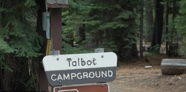
Talbot Campground
Foresthill, CAMosquito Ridge Road 96, Foresthill, CA 956315 tent sites located along the Middle Fork of the American River.
-
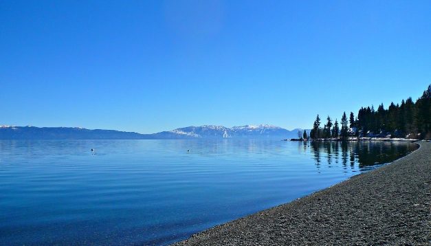
Carnelian Bay Beach
Carnelian Bay, CA5074 North Lake Boulevard, Carnelian Bay, CA 96161The site includes a lakefront promenade, benches, picnic tables, barbecues (bring your own charcoal), and restrooms.
-
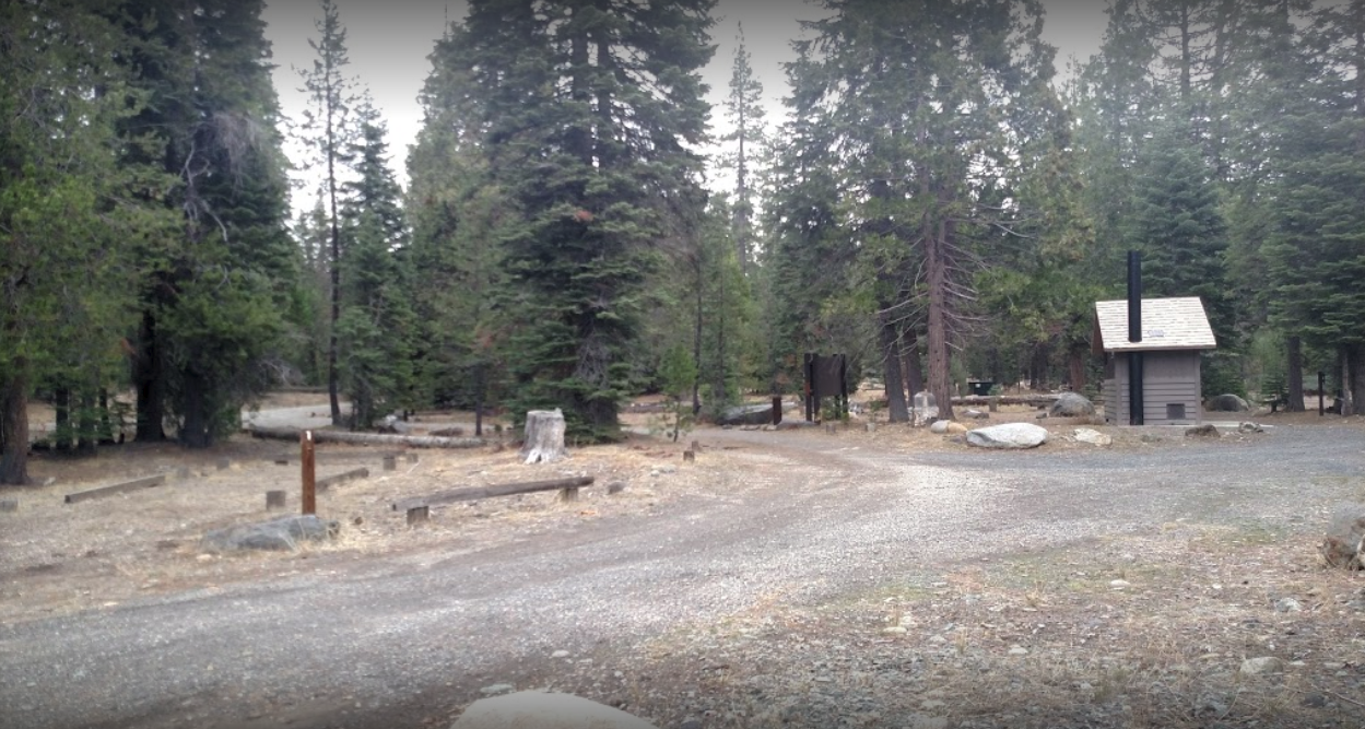
Ahart Campground
Foresthill, CAMosquito Ridge Road 96, Foresthill, CA 95631Ahart Campground is conveniently located on the Middle American River and is near French Meadows Reservoir.


