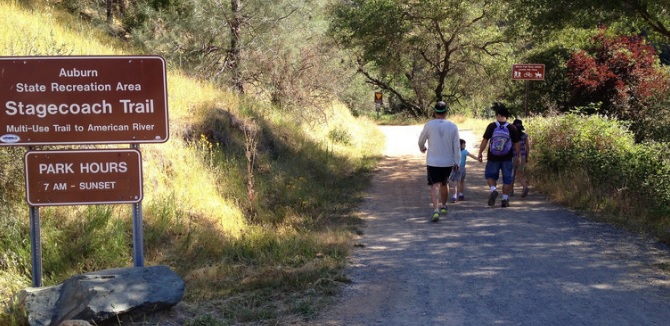
Stagecoach Trail
This historic trail offers great bird’s eye views of the confluence area and American River Canyon.
This historic trail offers great bird’s eye views of the confluence area and American River Canyon. Its gradual gradient offers a good aerobic workout climbing 800 ft in 2 miles from the confluence to the top where it intersects Russell Road at a gate (#138). The history of this trail dates back to the mid-1800s. The trail climbs through riparian corridors as well as some typical foothill chaparral areas. Wildflowers bloom in the spring in several areas. There is little shade, so take water and sunscreen on hot summer days.
- Distance 2 miles
- Approx length of time 1½ hours up, ¾ hour down (hiking)
- Difficulty Moderate up, easy down
- Website Stagecoach Trail
- Best Feature At the top of the trail, pause to catch your breath and enjoy the photos displayed in a kiosk before returning to the confluence back down Stagecoach Trail or via an alternate route
- Hiking
- Biking
- Equestrian

Trailhead is at confluence area, 1¾ miles south of ASRA Park Headquarters. Take Hwy 49 from Auburn south to Old Foresthill Road at the bottom of the canyon. Continue straight for ¼ mile and park on the left. Trailhead is just beyond parking area of green gate (#137) near a kiosk and port-a-potty.
ALSO CHECK OUT:
-
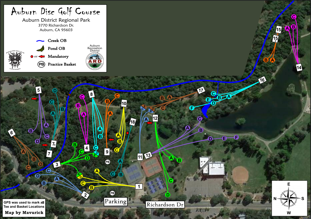
Auburn Disc Golf
Auburn, CADisc golf can be played from school age to old age, making it one of the greatest lifetime fitness sports available.
-
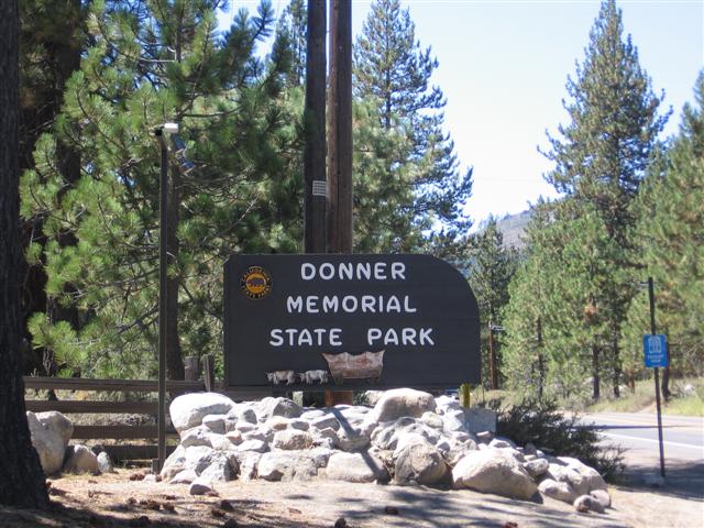
Donner Memorial State Park & Emigrant Trail
Truckee, CA12593 Donner Pass Road, Truckee, CA 96161The park is home to numerous hiking and snowshoeing trails, or you can swim, boat and fish.
-

Whitney Oaks Golf Club
Rocklin, CA2305 Clubhouse Drive, Rocklin, CA 95677Whitney Oaks is one of Northern California’s most spectacular golf destinations.


